Forest Fire Simulator
A simulator which predicts wildfire spread based on the environmental variables selected. This was built as an educational tool for students to better understand the variables that affect wildfire behaviour.
Try Simulator →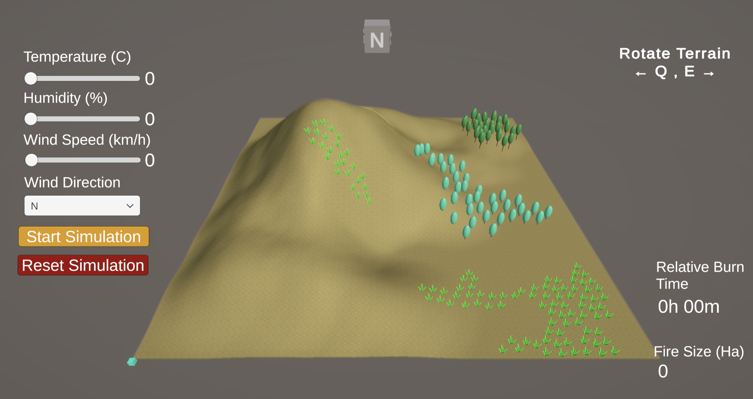
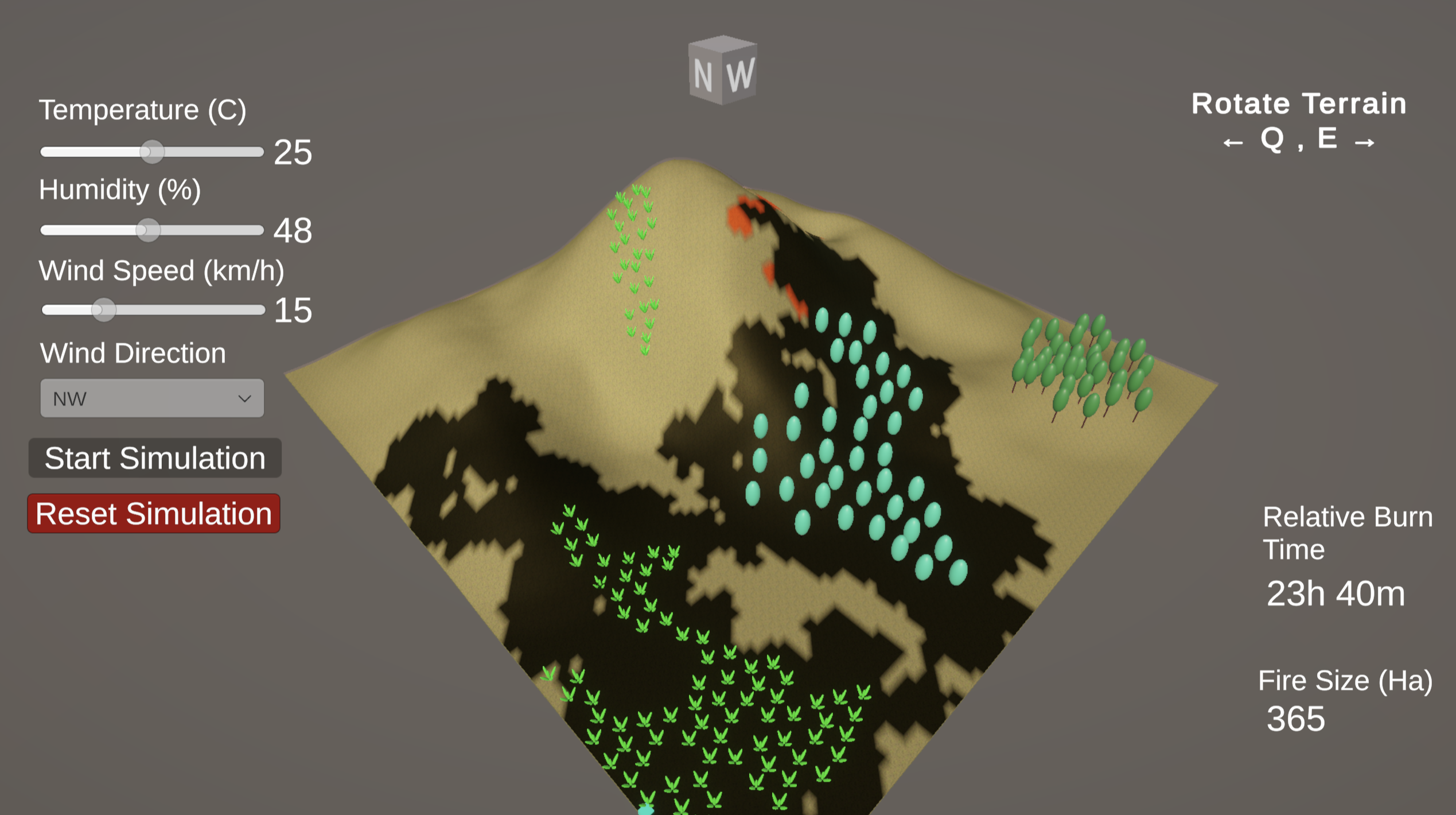
Select Environment Conditions
Set the conditions by setting the variables on the left, then press "Start Simulation". The simulator can be reset at any time by pressing "Reset Simulation".
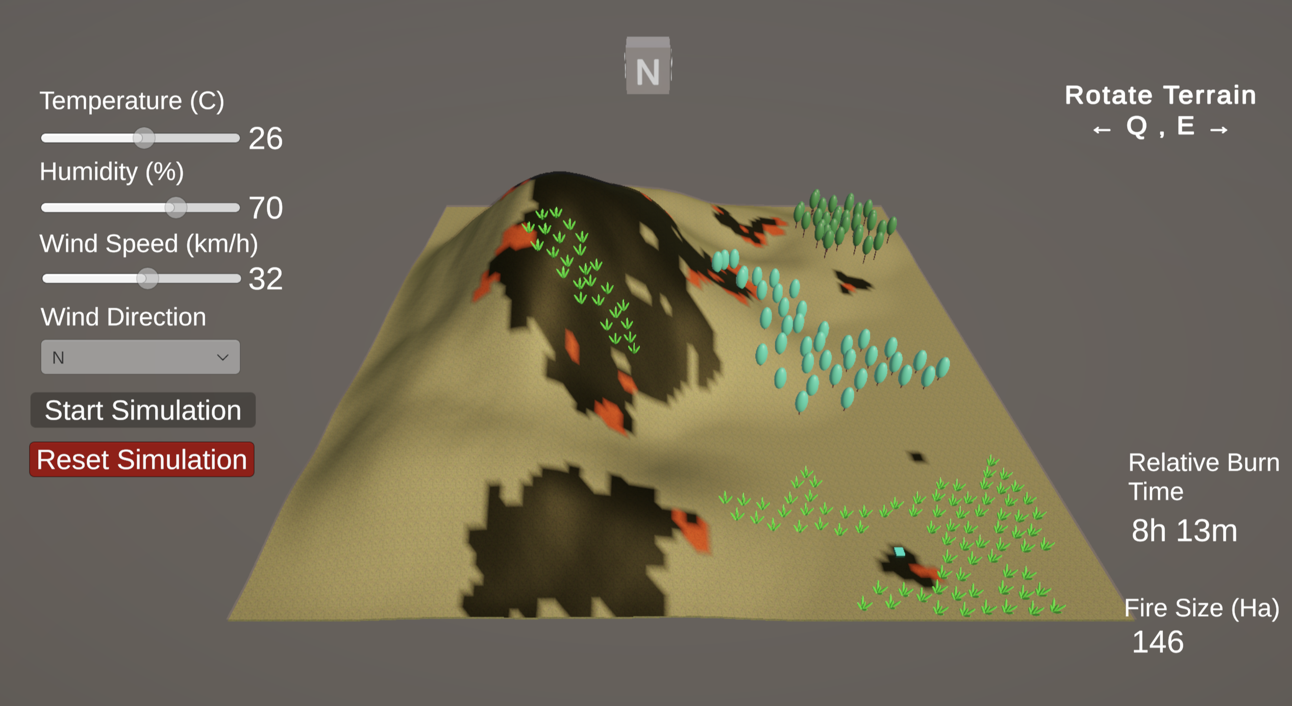
Ignition Location Selection
Select anywhere on the map to ignite a fire. One or multiple fires can be lit anywhere on the map. The grass and blue trees (ladder fuel) burn faster, while the green trees (no ladder fuel) burn slower than the terrain without trees or grass.
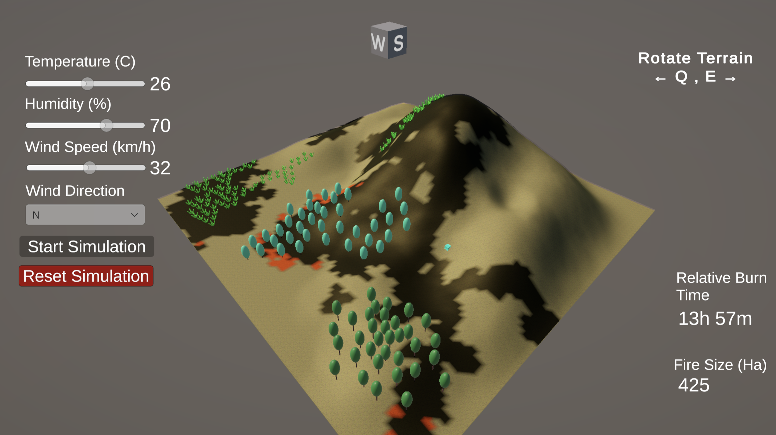
Terrain Map Rotation
The map can be rotated using the "Q" and "E" keys on the keyboard. The compass above the terrain indicates the direction you are facing (i.e. if you see "N" you are facing north).
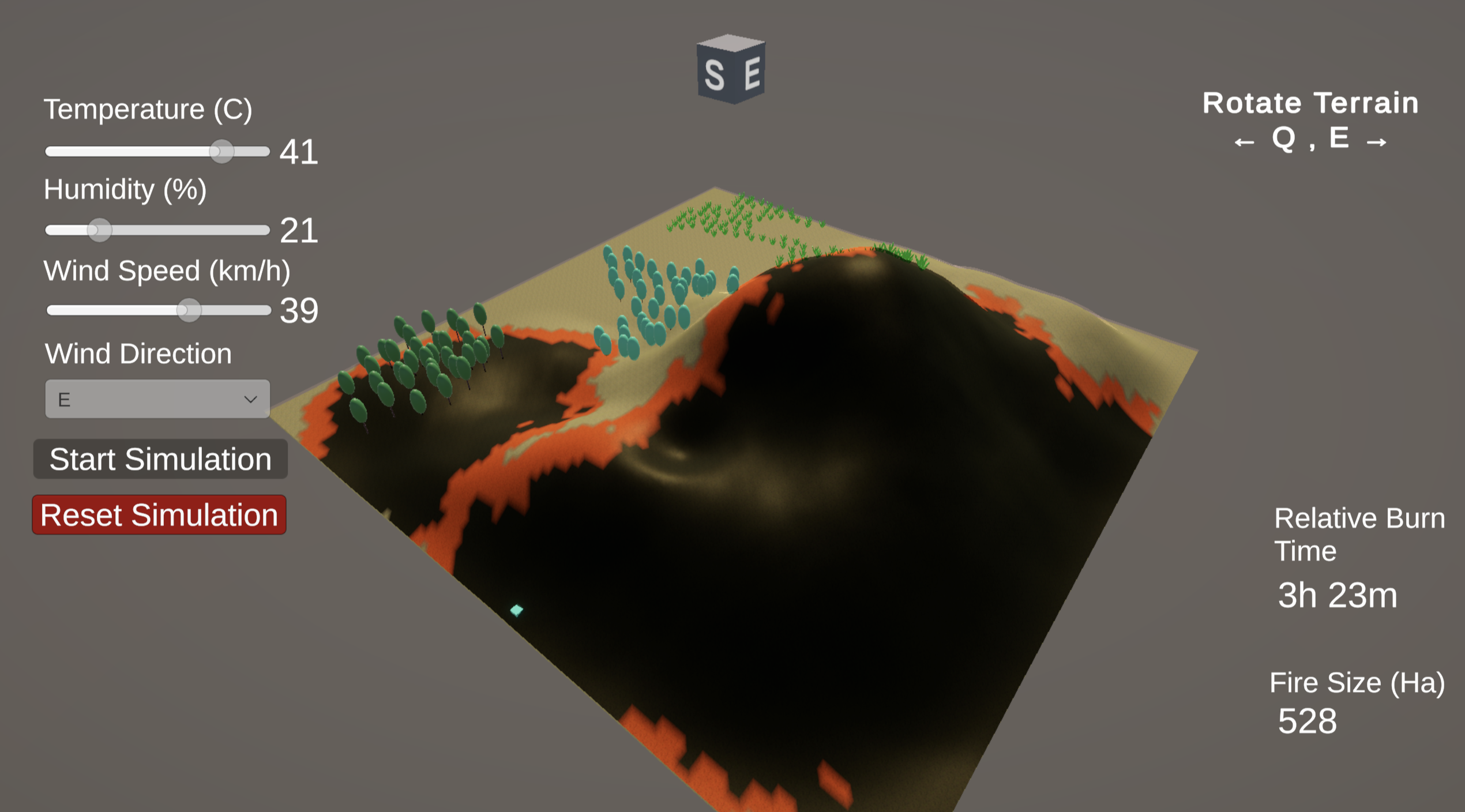
Spread Rate Indicators
Counters on the right indicate the total area burnt in hectares, and an estimate of the time it took that area to burn. These do not currently consider daily fluctuations in the environmnetal variables defined.
Simulation Logic
To predict wildfire spread, the simulator uses a custom cellular automata computational model that was calibrated against a historical database of observed wildfire behaviour in BC.