Population Health Application
A full-stack GIS application for discovering and analyzing location-based community services. The application combines interactive mapping, geospatial search, custom data analytics, containerized deployment, and application performance monitoring.
Project Currently Under Construction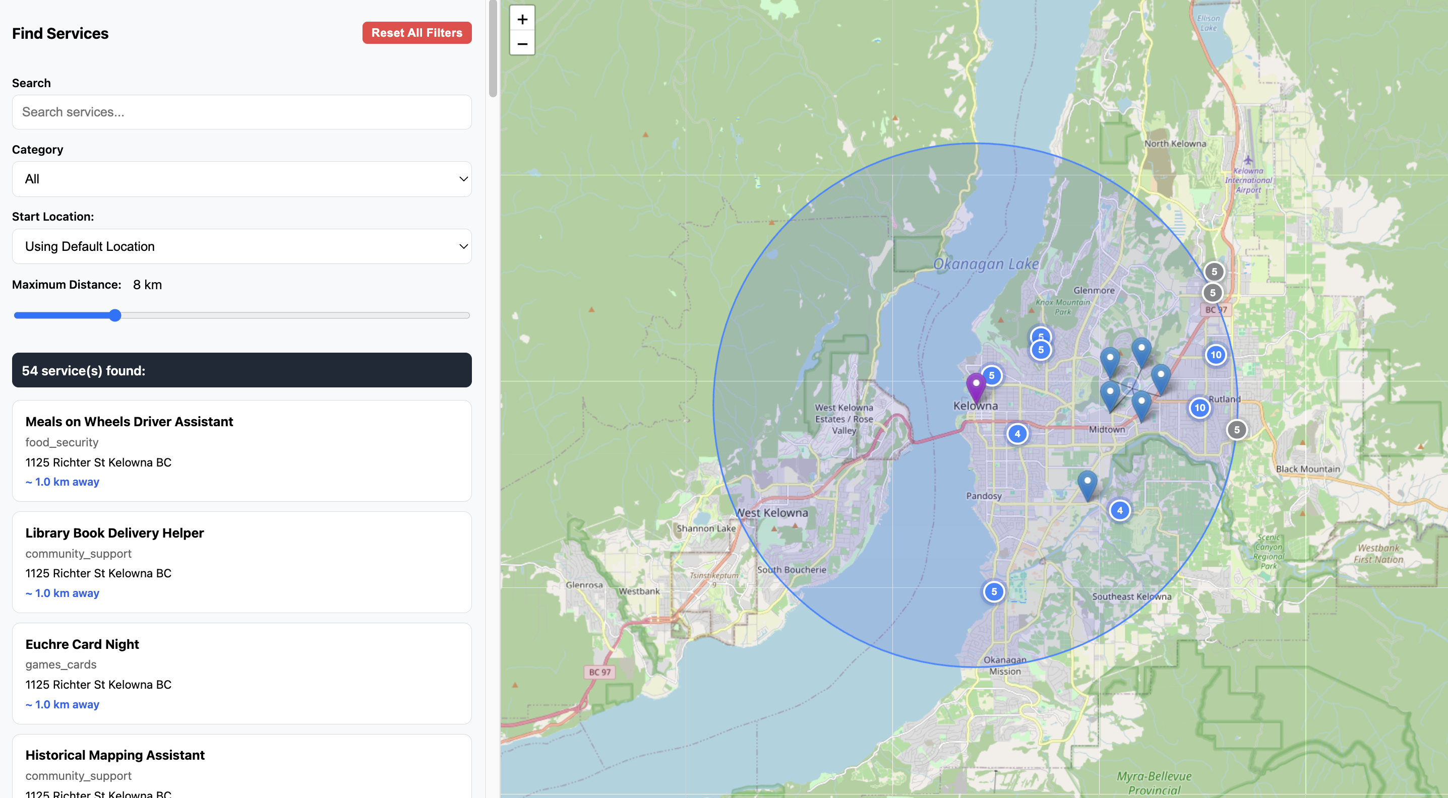
Location Specific Mapping
Mapping can be utilized anywhere in the world and data is stored in GIS compatable formatting.
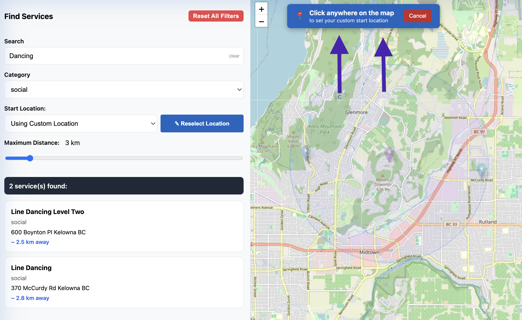
Custom Location Setting
Custom or default locations can be used if exact device location is not approved by the user.
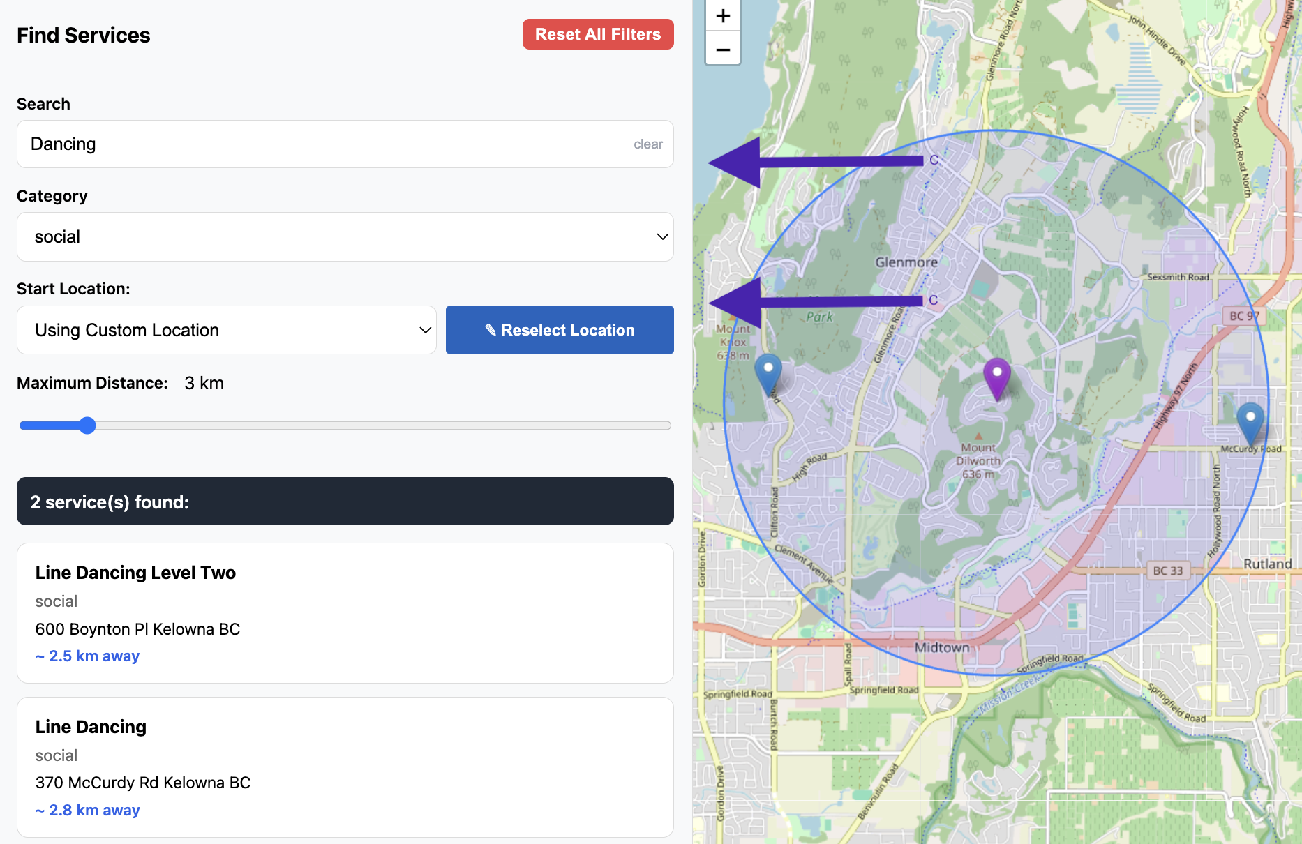
Filtered Searching
Search filtering can be applied to find the exact service.
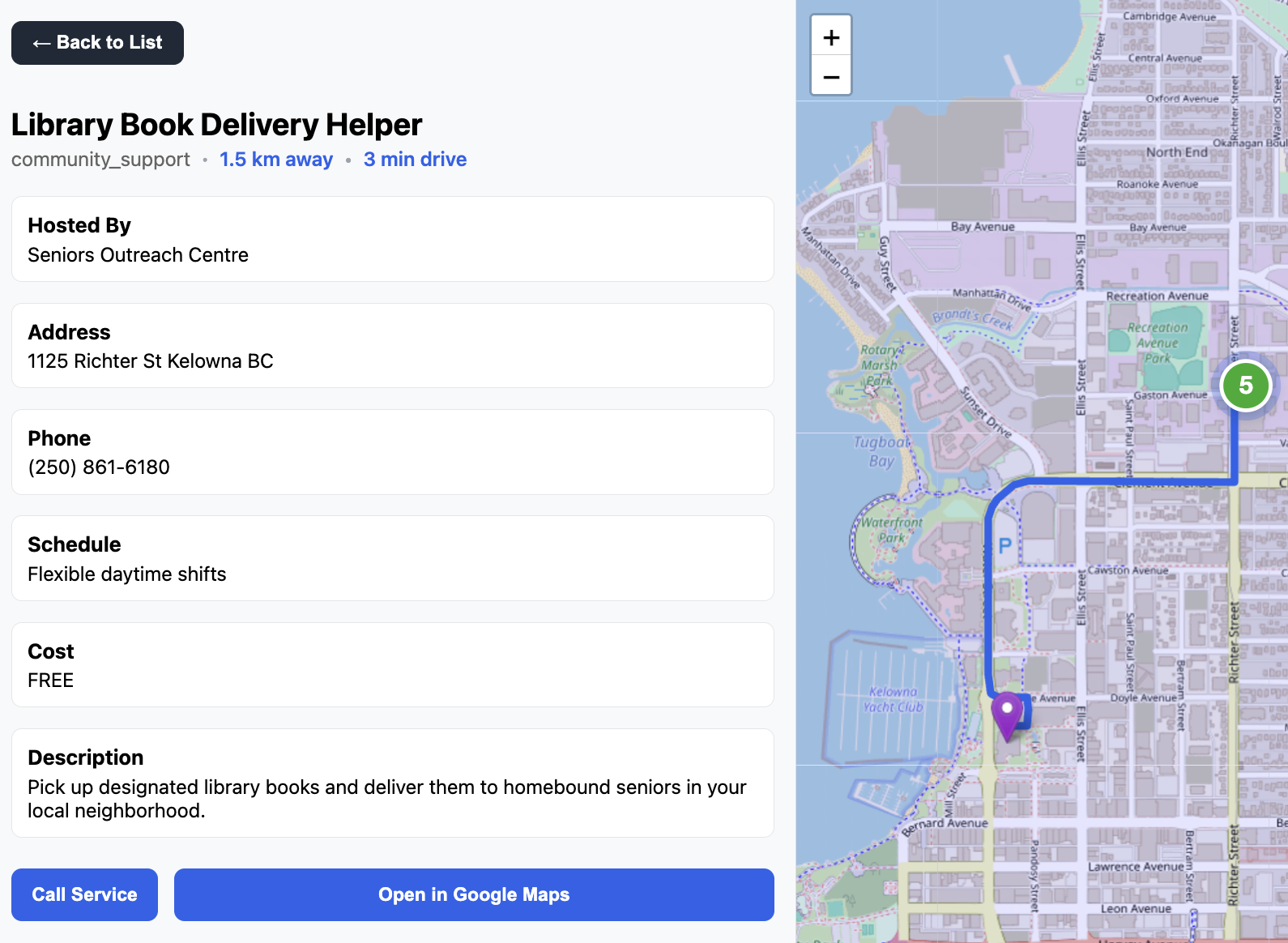
Service Breakdown
Service information and travel information can be viewed individually. If needed, the commute can be exported to Google Maps with one click.
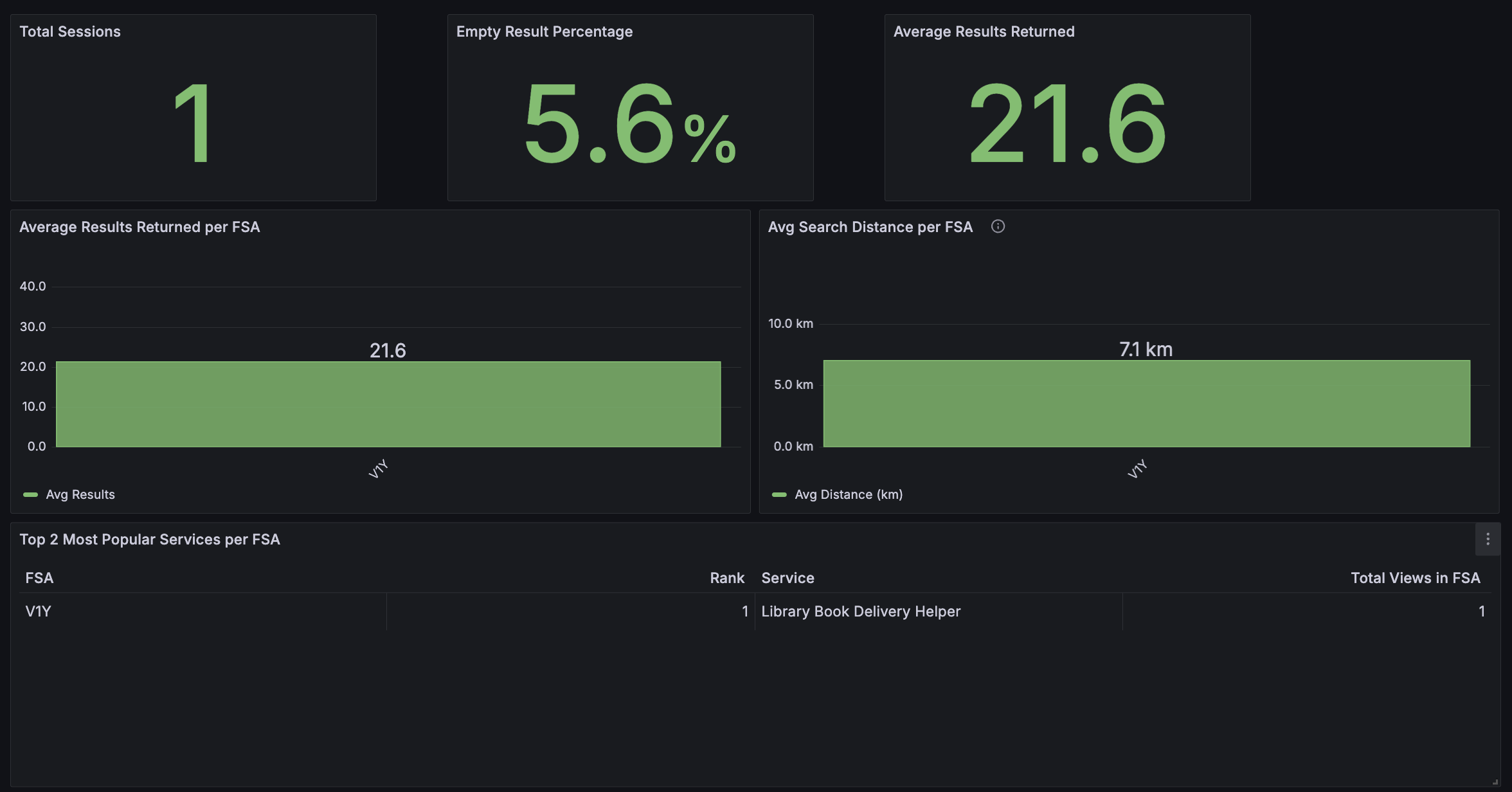
Custom Data Analytics
Tailored Grafana application performance and error dashboards display application function, while custom data analytics pipelines provide full breakdowns of anonymized GIS data.
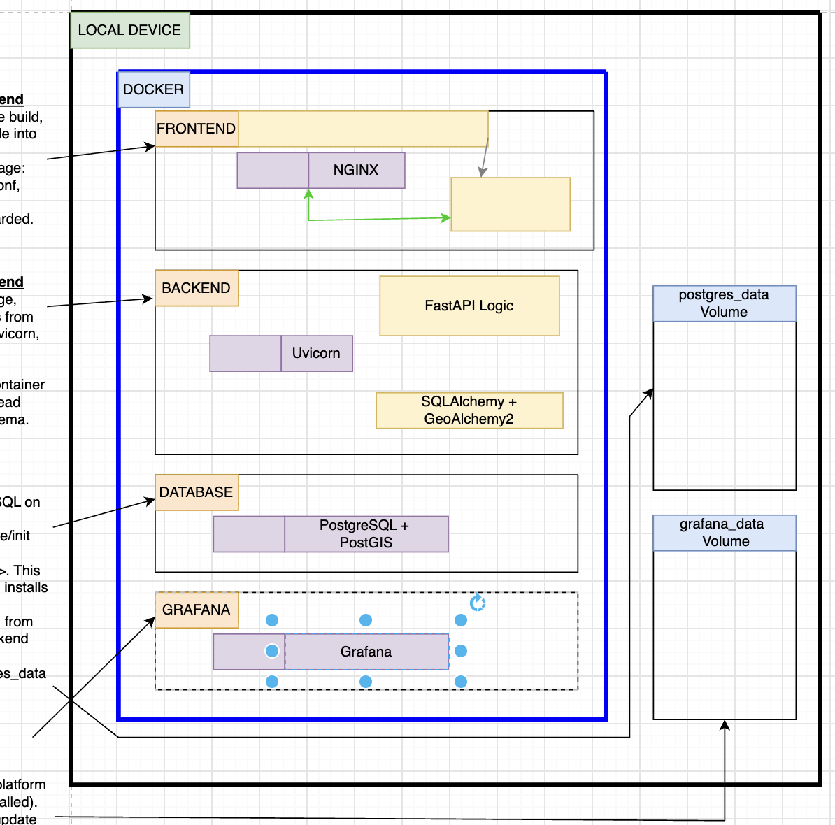
Full-Stack Application
A fully containerized full-stack application combining a web frontend, REST API, geospatial database, cloud deployment, performance monitoring, anonymized user analytics, and complete testing framework.